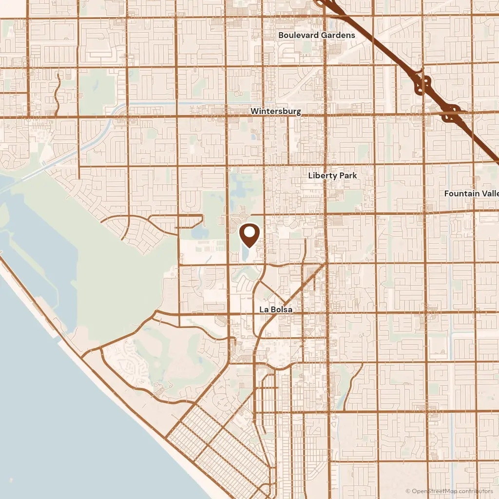
Pacific Coast Highway runs from our office to the Santa Ana River bridge and into West Newport, about 12 miles, and the crew comes that way for the Peninsula and the islands, or takes the 55 and the 73 for Corona del Mar and Newport Coast. Permits come from the Community Development Department at the Civic Center on Civic Center Drive beside Fashion Island, which also issues the coastal development permit in the coastal zone, since the city holds a certified Local Coastal Program.
West Newport and the Peninsula are our own beach continued past the river, sand lots on Seashore Drive and Balboa Boulevard with the garage on an alley and nothing but a walk facing the front. Balboa Island and Lido Isle are the same sand behind a seawall, where the bayfront walk is the city's and the patio behind it is yours. Above Pacific Coast Highway, Newport Heights, Cliff Haven and Westcliff are 1940s and 1950s streets on the terrace with a front drive and a parkway tree.
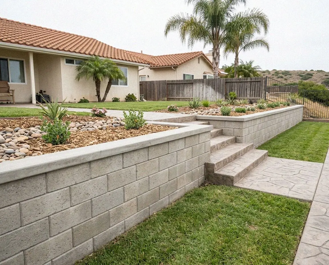
The newest work is on the hill. Newport Coast was laid out from the 1990s on graded terraces, with long drives, walls at the lot lines and an association that reviews color and finish before the city sees the plan. Dover Shores and the streets above the Back Bay sit on the bluff edge, where a patio at the top of a slope is footed like a wall and drained to the street. A crew from the flat sand of Huntington Beach learns the grade here and the finish everywhere else.